Haddonfield Maps and Objectives in Halloween: The Game
Four official maps: East Haddonfield, Heights, Orange Grove, Town Center. Learn named POIs and civilian objective loops, not fan street names.
FAQ
How many maps launched?
Is Lampkin Lane confirmed?
Should I copy competitor street names?
How many launch maps are actually named?
IllFonic’s 1 September 2026 locations article names four playable neighborhoods: East Haddonfield, Haddonfield Heights, Orange Grove Estates, and Haddonfield Town Center. This page is the objective-and-habit overlay. Individual landmarks live on the map hub and the four map articles. Do not invent Peach Street, Fleming Avenue, or Danny Avenue pages.
| Map | Official landmarks (partial) | Campaign hook |
|---|---|---|
| East Haddonfield | Rabbit in Red Lounge, Phelps Garage, Castle Hill Rooks, Midwest Feed Company, farmland | Road to Haddonfield / bar chapter |
| Haddonfield Heights | Strode house, abandoned Myers house, Lampkin Lane, water tower | Returning Home |
| Orange Grove Estates | Doyle and Wallace opposite, playground, basketball court, merry-go-round | Babysitters |
| Town Center | Nichols Hardware, A-Side Music Store, Hill Garden Center, Patty’s Pub, Margie’s Auto Repair | Main Street |
A PlayStation Blog pass adds grain mill, silos, highways, and train tracks for the east side. Official Town Center spelling is Margie’s Auto Repair; some community pages write Maggie’s. Record the conflict; do not silently “correct” outsiders.
What are civilians actually doing on these maps?
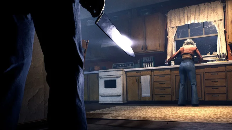
Preview coverage and trophy text describe a loop: warn NPC residents, lock or repair, find phone boxes for police, gather car keys / gas / repair kit / bolt cutters, and reach a named exit. Myers is doing the opposite: Stalk, executions, lights, and Shape Jump pressure. Lights matter because preview coverage says they can block Shape Jump and drain Bloodthirst. That is why “turn the house on” is an objective habit, not flavor.
The calling the police and escape routes guides keep those loops from being rewritten on every map page. Use this page to remember that objectives sit on named official POIs, not on fan-wiki extra streets.
How should you learn a neighborhood without a full layout dump?
Walk one official landmark, then one fallback. Example on Heights: Lampkin Lane to the water tower, then a lit interior. Example on Orange Grove: Doyle versus Wallace, then the playground. Example on Town Center: Nichols Hardware to the cemetery, remembering Rachel’s cemetery beat in Chapter 2. Example on East: Rabbit in Red Lounge, then Phelps Garage. Log the build (EA Hotfix 1) because Hotfix 1 can still break challenge ticks in story chapters that reuse these spaces.
Myers players should watch where civilians must stand still: phones, cars, bolt-cutter chains, hiding-spot commands. Those pauses are pressure windows even without ability numbers. See Myers abilities.
Which names are official versus withheld?
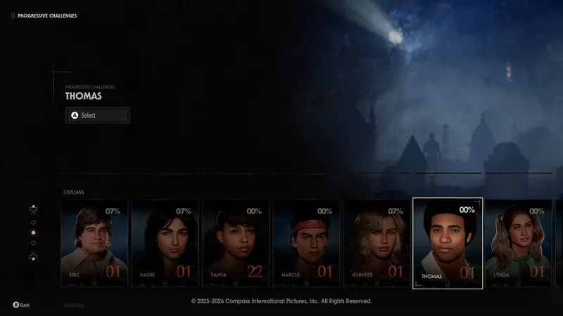
Official: the four map titles, the POIs in the table, Annie at Wallace, Laurie at Doyle, Tanya at A-Side, Eric at Nichols, Rachel in the cemetery passage. Withheld: complete collectible recording indexes, unpublished extra streets, and any farm of pumpkin locations beyond the trophy Pumpkin Smasher (destroy 50 pumpkins throughout Haddonfield). Pumpkins are a trophy object, not a map tile we have plotted.
How do story chapters sit on these maps?
Escape From Smith’s Grove is the hospital-grounds prologue before East Haddonfield. Road to Haddonfield uses Rabbit in Red. Main Street uses Town Center. Returning Home uses Heights / Judith Myers house. Babysitters uses Orange Grove. Into the Shadows is the Orange Grove aftermath with sewer, railroad, and cornfield ending routes named by Into Indie Games. 1v4 can reuse the same neighborhoods without following chapter scripts. Keep campaign spoilers on campaign pages.
What should a useful map note contain?
A useful note names the neighborhood, the landmark used as a starting point, the objective being attempted, and the fallback if Myers arrives. “Run left” is not durable guidance when a patch, mode, or spawn changes. “Start at Rabbit in Red, check the phone route, and keep one exit in mind” is easier to reproduce and does not pretend to be a complete layout. The same method works for the Strode and Wallace houses, Town Center businesses, and the Heights landmarks.
For a civilian, connect a landmark to a task: a phone, a resident command, a chain or padlock, a car, or another named exit. For Myers, connect it to a pause: a call, a hiding spot, a vehicle, or a Stalk position. The sources establish those objects and actions, not a universal optimal patrol. Use the civilian survival guide and Myers multiplayer guide for role-specific habits, then keep the map page focused on names and relationships. That approach makes a route note useful even when the next hotfix changes a prompt or challenge tracker. Include the source URL and check date in a future edit, and keep a rumor out of the map table until a named landmark is confirmed before calling it official in published wiki copy at launch today now as checked.
Related Articles
guides
Halloween: The Game Escape Routes Guide
A named-route guide to car, fence, storm drain, sewer, railroad, cornfield, bunker, and police-wagon escapes, with chapter and multiplayer boundaries.
maps
East Haddonfield Map Guide
A location-led East Haddonfield guide covering Rabbit in Red Lounge, Phelps Garage, Castle Hill Rooks, Midwest Feed, and rural route landmarks.
maps
Haddonfield Heights Map Guide
A sourced Haddonfield Heights map guide for Strode house, the abandoned Myers house, Lampkin Lane, water tower, and Returning Home context.
Was this helpful?
Thanks for the feedback!